Weitzman School of Design Logo

Header Mini Menu

  • Apply
  • Request Info
  • Give

1 Primary Dept Mega Menu

  • Architecture
  • City & Regional Planning
  • Fine Arts
  • Historic Preservation
  • Landscape Architecture
  • Urban Spatial Analytics
  • PhD Programs
All Degrees & Certificates

Header Mini Menu

  • Apply
  • Request Info
  • Give

Mega Menu

  • About
    • People
    • Mission, Values & Leadership
    • Strategic Priorities
    • Building Community at Weitzman
    • Departmental Contacts
  • Admissions
    • Overview
    • Admissions Events
    • How to Apply
    • Tuition & Aid
    • Undergraduate Applicants
  • Resources
    • Career Resources
    • IT Services
    • Fabrication Lab
    • All Resources
    • WISH (Faculty & Staff)
  • Research
    • Centers & Labs
    • PennPraxis
    • Architectural Archives
    • Applying for Research Funds
    • Updates
  • Latest
    • Weitzman News
    • Events & Exhibitions
    • Introducing Stuart Weitzman Hall
  • Popular Links
    • For Students
    • For Faculty & Staff
    • For Alumni
    • Academic Calendar
    • Social Media Directory
Urban park along winding river Explore Weitzman's Strategic Priorities Making Space for the Public Good
Connect
Facebook Twitter Linked In Instagram Youtube Flickr

Stuart Weitzman School of Design
102 Meyerson Hall
210 South 34th Street
Philadelphia, PA 19104

215.898.3425

Get Directions

Get the latest Weitzman news in your Inbox

Back to Top

Breadcrumb

  1. Home
  2. City & Regional Planning
  3. Research

Research

1 Main navigation

  • About
  • Courses
  • People
  • Events
  • News
  • Research
  • Student Work
  • Contact
Durham-Orange Light Rail Transit project schedule When the Train Never Comes: Property Value Impacts from the Announcement and Cancellation of a Light Rail Project
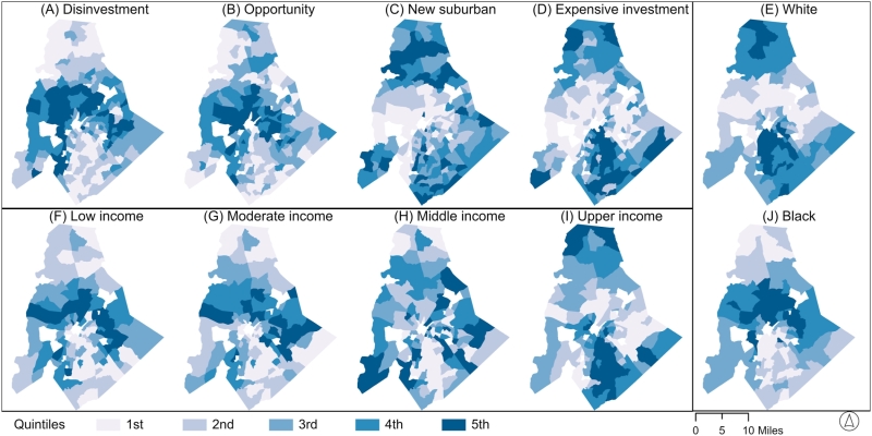
Shares of listings classified into different housing classes mapped against the share of low through upper-income mortgage applicants and the share of White and Black applicants in 2016. What Real Estate Listings Reveal About Who Applies for Mortgages
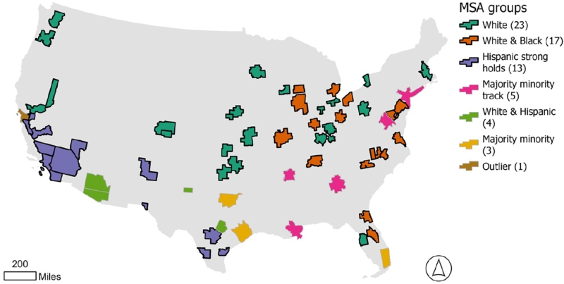
Map of Metropolitan Statistical Areas (MSA) Visualizing Neighborhood Change Through Time Series Clustering
Graph of Keywords Associated with  Female vs. Non-Female-Led Articles Exploring Gendered Research Patterns in Transport Geography
FLEXIBLE STREET  - REIMAGINING THE  POTENTIAL OF STREETS IN THE AUTONOMOUS VEHICLE ERA Philadelpia Flexible Street Pilot Project
Overhead shot of a house and grassy hills with the text "State of Land Preservation" in the upper left corner. The State of Land Preservation in Harford County
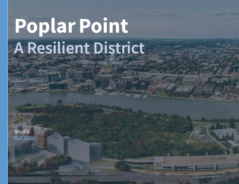
cover of Poplar Point studio book Poplar Point: A Resilient District
cover of Future of the City report Future of the City
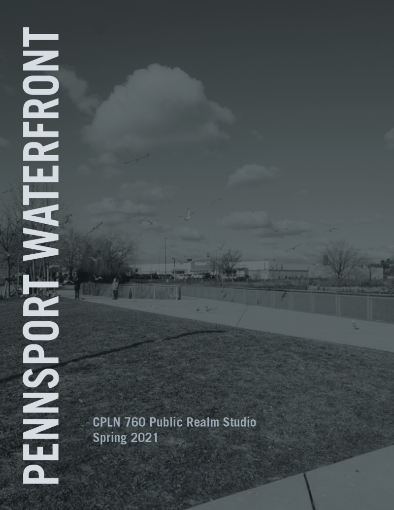
cover of Pennsport studio report Pennsport Waterfront
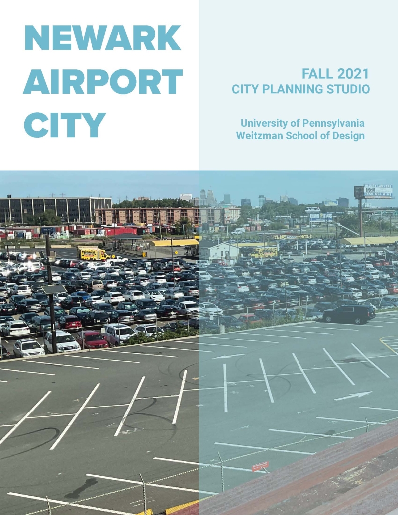
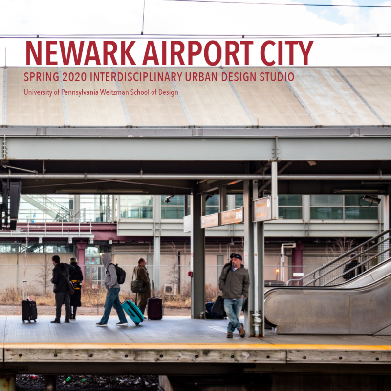
" " Newark Airport City
" " Panorama 2020
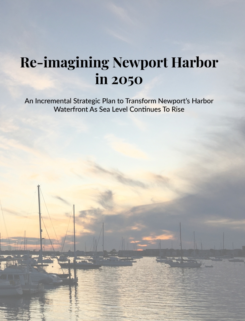
" " Reimagining Newport Harbor 2050 – A Strategic Implementation Plan

Pagination

  • First page «
  • Previous page ‹
  • 1 / 4
  • Next page ›
  • Last page »

Get the latest Weitzman news in your Inbox

logo-penn-footer

© Trustees of the University of Pennsylvania

Connect
Facebook Twitter Linked In Instagram Youtube Flickr

1 Primary Dept Mega Menu

  • Architecture
  • City & Regional Planning
  • Fine Arts
  • Historic Preservation
  • Landscape Architecture
  • Urban Spatial Analytics
  • PhD Programs
  • Contact Us
  • Support Weitzman
  • Report Accessibility Issues and Get Help
  • Privacy Policy
  • Disclaimer
  • Emergency Services
  • Report Copyright Infringement
Close
Close