MUSA 8010 / CPLN 7900
Mapping Urban Shade Distribution
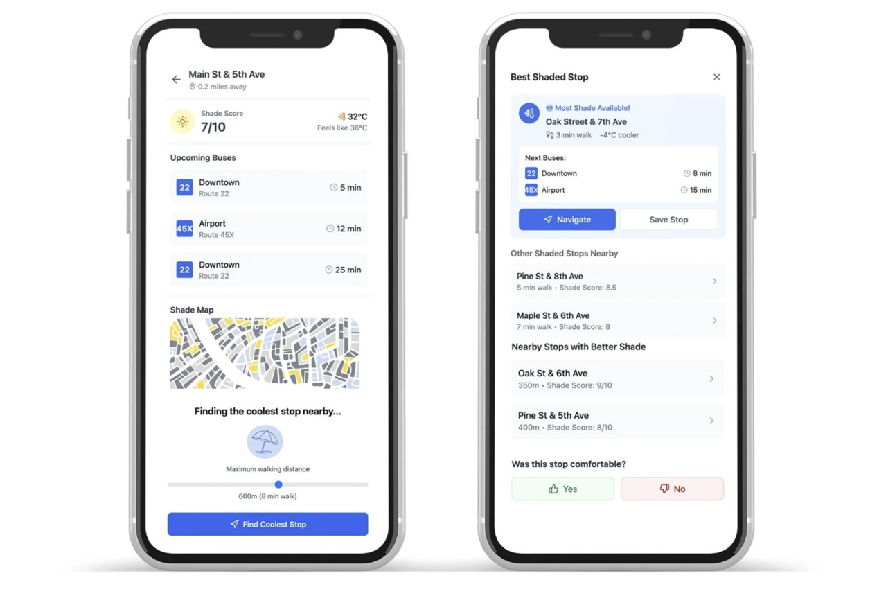
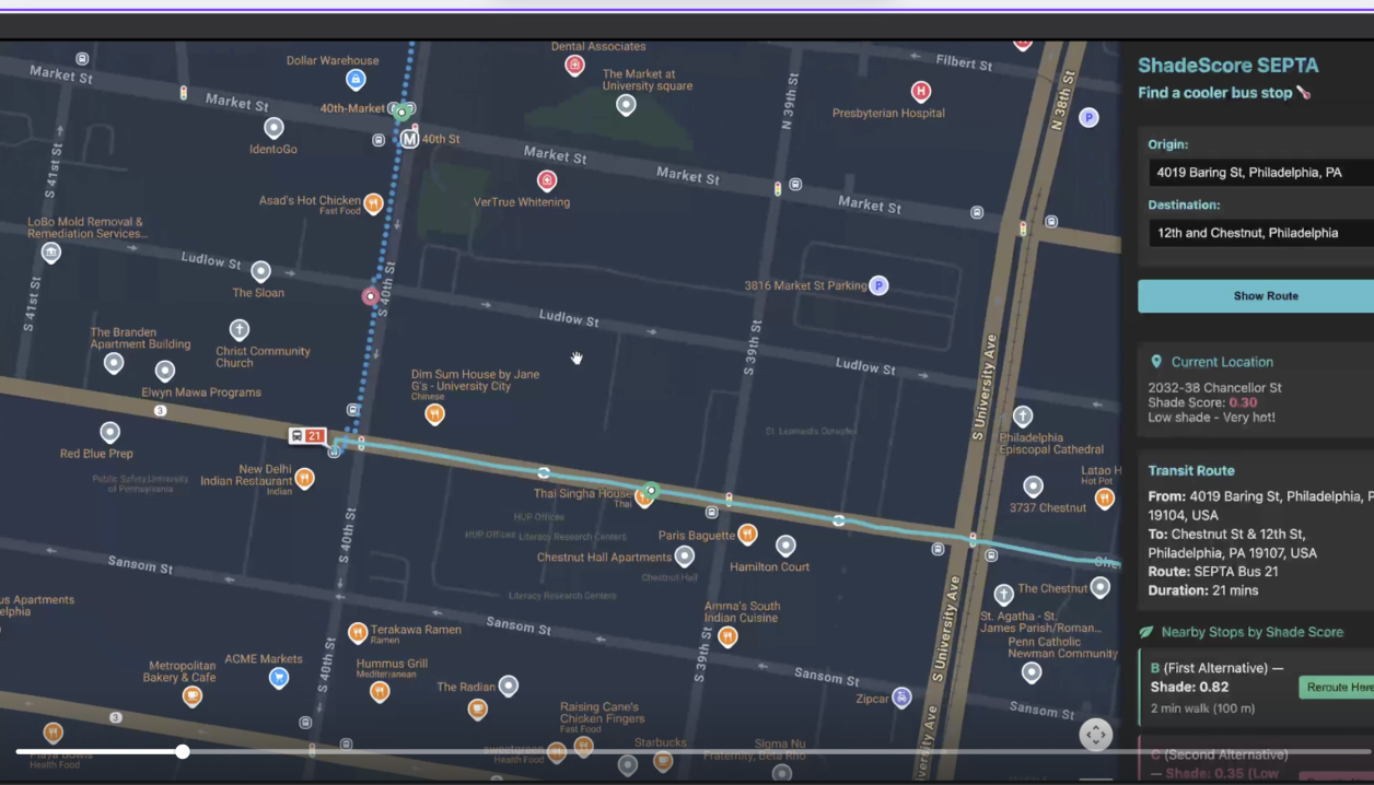
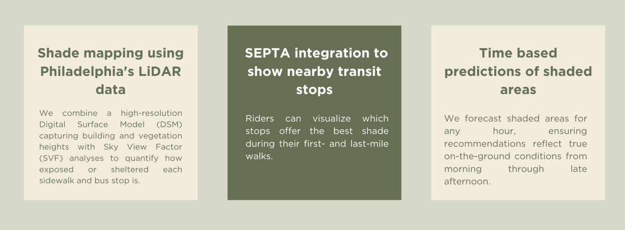
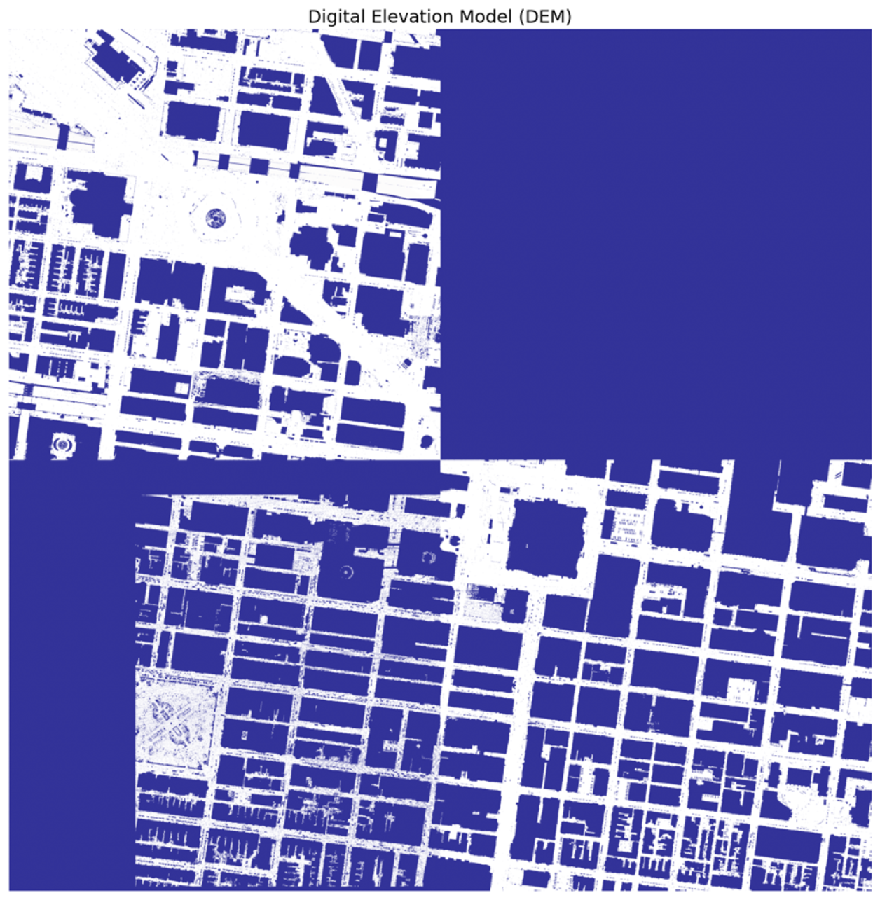
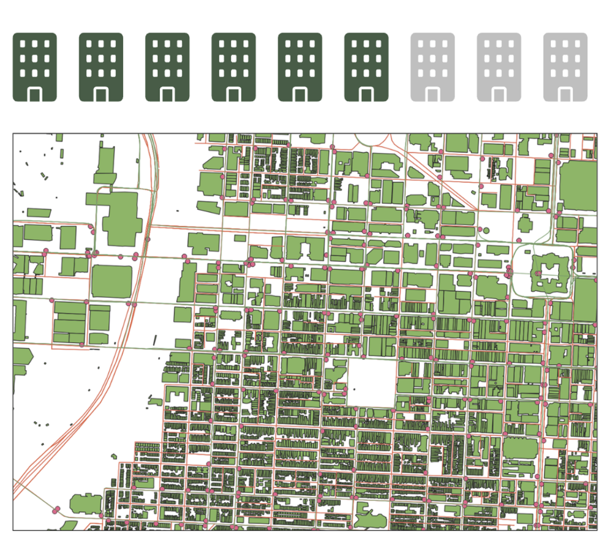
This project builds on Professor Li’s foundational work in urban shade distribution, combining LiDAR-derived canopy data and building‐shadow modeling with SEPTA transit routing. This tool empowers Philadelphia commuters to choose slightly longer (2-8 min) walks to significantly shadier bus boarding stops, improving comfort and safety during summer heat. Apply ray-tracing and solar geometry to DSM & SVF rasters to model shadow patterns hour-by-hour. Integrate tree-canopy percentages from land-cover data to refine shade estimates at street level. Leverage Google Maps and SEPTA Transit API to connect shade metrics to real-world bus stops and routes.
Learn More