MUSA 8010 / CPLN 7900
Wildfire Risk Modeling for Land Development
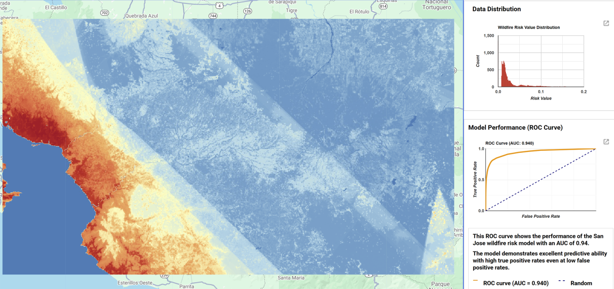
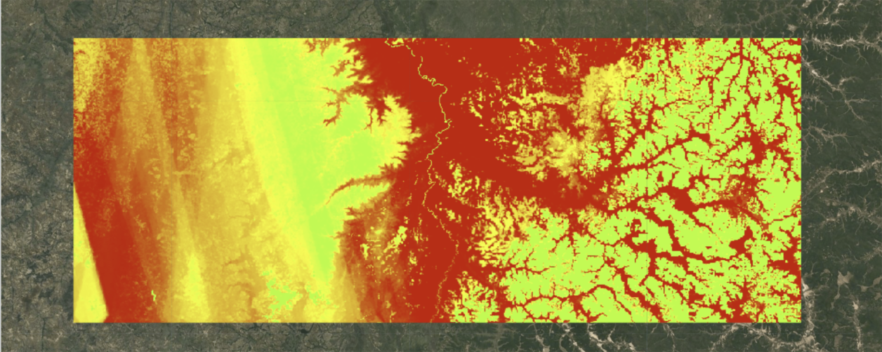
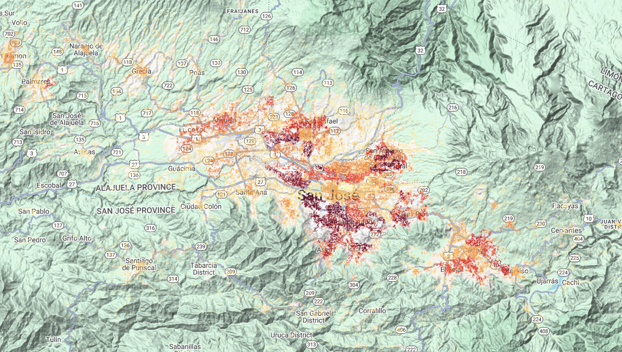
This project identifies areas where wildfires are most likely to impact people by clustering wildfire hazard risk with human population density—highlighting where future development should be discouraged. To assess wildfire hazard, it introduces a customizable pipeline that predicts wildfire risk anywhere in the world using a random forest classification model trained on global, open-source satellite imagery. The pipeline generates tailored models for any area of interest, optimizing accuracy by incorporating local context. In a low-fire region near San José, Costa Rica, the model achieved 94% accuracy in predicting burned areas.
Learn More