The Sobral, Brazil Studio: Reconnecting the City to its River
This studio is part of a series of over 30 similar academic experiences dealing with fast growing Latin American cities nestled in areas of rich biodiversity and agricultural landscapes. A common condition in most of Latin America is that while the natural settings are valued as anchors of regional and urban identity, in practical terms, their cities have grown--encroaching on them, frequently turning their back to the hydrological systems, polluting them, fragmenting habitats and taking over agricultural land. Deforestation for agriculture, logging, mining, urban growth, and climate change have also increased the impact of flooding and environmental problems.
The State of Ceará, located in the equatorial zone of Northeastern Brazil, stretches from the Atlantic coast with magnificent dunes and dramatic red cliffs, to flatlands with dispersed remains of old eroded rugged terrain (geologically known as inselbergs) covered mainly by dry forests, to mountainous areas with lush vegetation, in contrast to some humid mountain ranges, like Meruoca, that mix ecosystems associated with the Atlan\c and tropical forests.
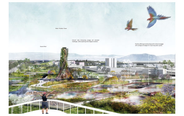
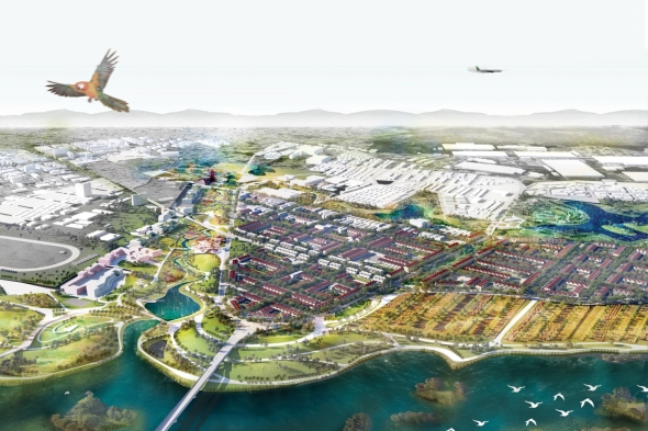
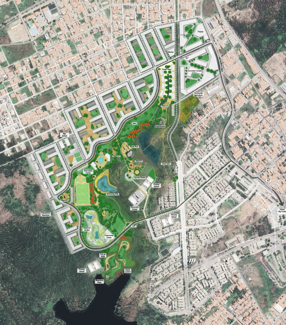
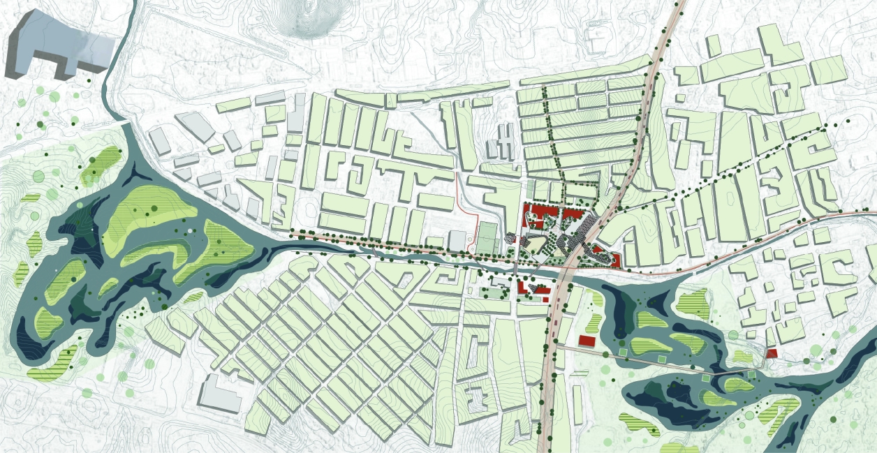
The Studio will focus on the relationship between the city of Sobral and some of its tributaries. Sobral is the second largest urban center of Ceará, a small one if compared to the large Brazilian cities, with a population of over 200,000 inhabitants, with a rich history, robust urban structure, dynamism, and strong identity. It is located on the banks of the Acaraú River at the foothills of the Meruoca mountain range. It is an important commercial, service, manufacturing, and agricultural processing center.