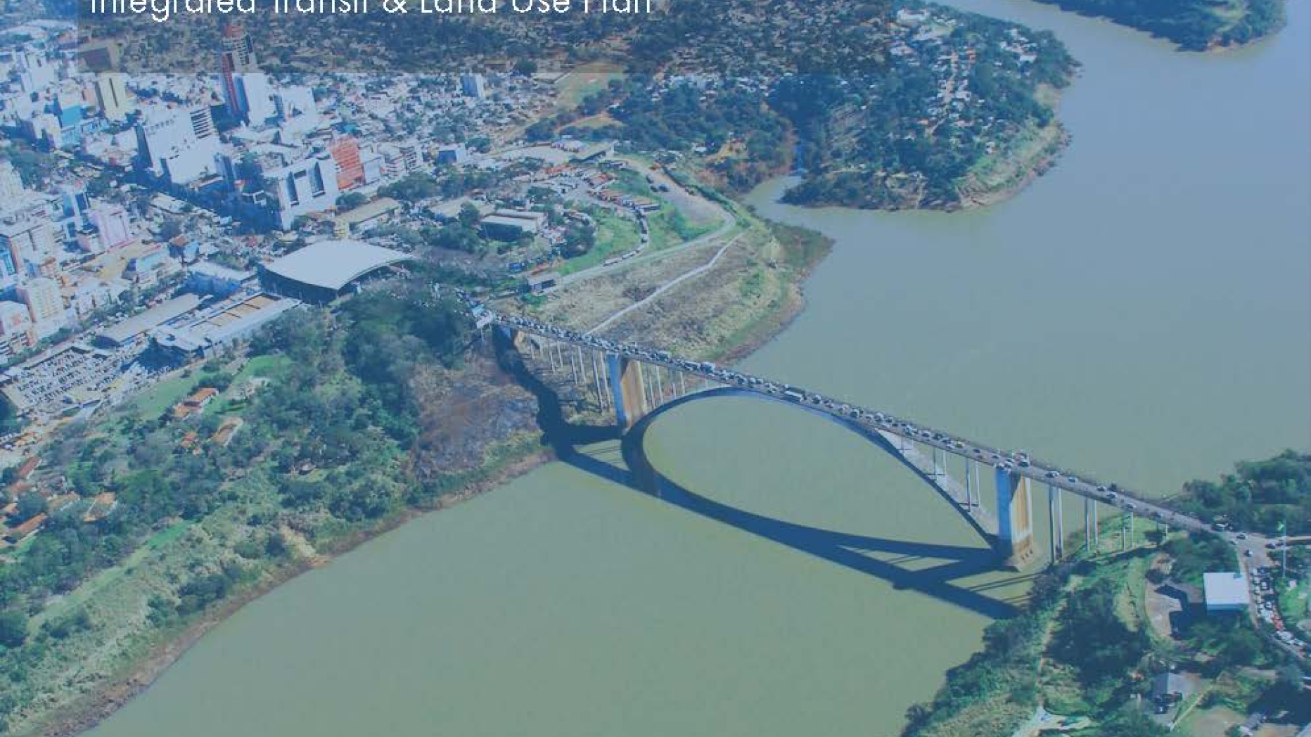
In the spring of 2021, our semester-long studio worked on developing an integrated transit and land use plan for Ciudad del Este, Paraguay, a mid-sized city located in the triple frontier region of South America, where Paraguay meets Brazil and Argentina. The goal of this plan was to reimagine Ciudad del Este, a sprawling, car-dependent city dedicated largely to commercial tourism, as a transit metropolis – a region that integrates transit services with the urban form.
The studio team was composed of ten City and Regional Planning graduate students at the University of Pennsylvania Stuart Weitzman School of Design and advised by Professor Erick Guerra. The studio partners were the Inter-American Development Bank, the Architecture Department of the Universidad Católica de Alto Paraná (UCAP), and the Centro de Investigación, Desarrollo e Innovación (CIDI) of the School of Architecture at the Universidad Nacional de Asunción (FADA UNA).
Traditionally, the studio team visits the site they are working on to meet with the partners and other relevant stakeholders, as well as experience the city first-hand; however, due to the COVID-19 pandemic, the studio team was unable to visit Paraguay. As a result, an understanding of the city was developed through extensive research and numerous virtual meetings with regional experts and local stakeholders, without whom this plan would never have come to fruition.
Through months of meetings and research, we assessed existing conditions in the city, identified opportunities and issues that the city possesses, and created five major objectives to guide the plan in its goal of turning Ciudad del Este into a transit metropolis. They are as follows:
Ensure equitable accessibility for all residents of the city
Better connect assets
Manage congestion and improve safety
Encourage growth around transit improvements
Support commercial tourism & attract people to stay
The plan was broken into two major components – (1) a proposed transit network plan with a clear hierarchy of service, and (2) a land use plan that orients future development and growth in the city in and around well-serviced corridors and transit nodes.
The plan culminated with a deep dive into four identified focus areas, showing what the application of the transit and land use plan together would look like in key parts of the city, such as the construction BRT transfer stations, the establishment subdivision and services sites, the redevelopment of the waterfront, and various other changes related to the five key objectives.
This plan utilized Ciudad del Este’s unique border location, popular shopping district, and cultural identity to transform the region into a transit metropolis. Through an improved transit and land use plan, Ciudad Del Este has the potential to better connect people to the region’s assets in a way that not only eases congestion, but encourages dense and mixed-use development that supports the local economy.

 Expand Image
