It was 21 years ago that the concept of the megaregion was “discovered,” said Bob Yaro, the former president of the Regional Plan Association, during the CM2 Summer Forum at PennDesign in June.
The discovery occurred during a conference in Paris, and it happened more or less by accident. Researchers were looking at a forecast of land-use changes in the United States, and the presentation “revealed the emergence of America’s megaregions”—clusters of cities and densely built suburban areas that are connected by transportation infrastructure and other systems, Yaro said. It was a new urban form to consider, Yaro said, but researchers opted to use the term “megaregion” instead of “megalopolis” for a fairly simple reason.
“Given the anti-urban bias of the U.S., we better not call them cities or Congress will come out against them, whatever it is,” said Yaro, a professor of practice in the Department of City and Regional Planning..
CM2 is short for Cooperative Mobility for Competitive Megaregions, a consortium of researchers at four universities—the University of Texas at Austin, Louisiana State University, Texas Southern University, and PennDesign—working to “advance research, education, and technology transfer initiatives to improve the mobility of people and goods in urban and rural communities of megaregions.”
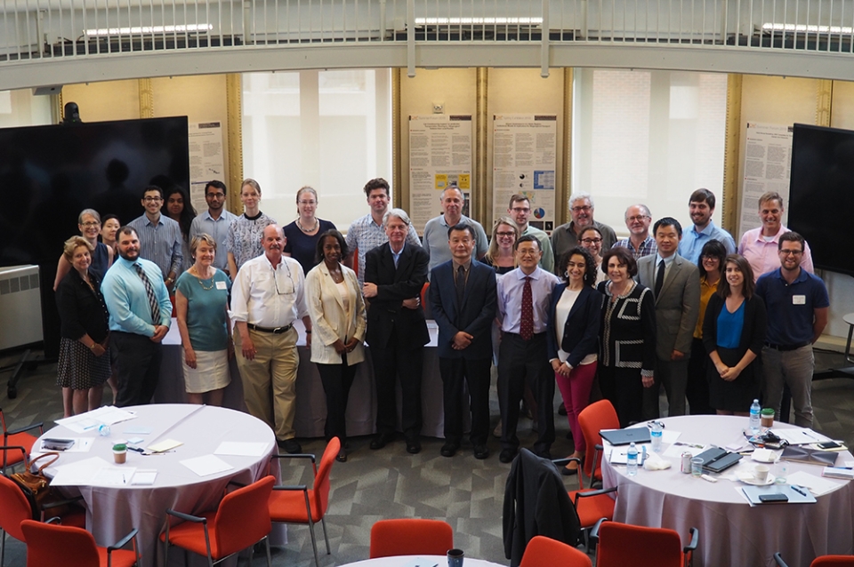
The group held its three-day summer forum at PennDesign and the Fischer Fine Arts Library in June. In addition to Yaro, Penn presenters at the forum included Billy Fleming, research director of The Ian L. McHarg Center for Urbanism and Ecology; Mark Alan Hughes, faculty director of the Kleinman Center for Energy Policy; Genie Birch, Lawrence C. Nussdorf Professor of Urban Research & Education and co-director of the Penn Institute for Urban Research; and PennDesign Professor of Architecture and Urban Design Marilyn Taylor, former dean of the School. The hosts for the proceedings were CM2 Director Ming Zhang, a professor of city planning at UT Austin, and PennDesign Dean and Paley Professor Frederick Steiner.
Brandon Buckner, a transportation specialist at the Federal Highway Administration, gave an overview of the FHWA’s use of megaregion geographies, and talked about creating incentives for states, municipalities, and nonprofit organizations to go above and beyond federal requirements for cooperation and to create multi-jurisdictional projects.
Students working with The McHarg Center—a new think tank at PennDesign comprised of world leaders in the environmental and social sciences, planning, design, and policy—presented slides on geographic changes anticipating an additional 100 million Americans by 2060. Growth on that scale will require the urban space of an additional 36 Chicagos or 61 Phoenixes, they said. Additionally, climate-related internal migration will reshape regions, with as many as 6.8 million people displaced by sea-level rise.
In a presentation called “Design and Planning Visions for the Northeast Megaregion,” Marilyn Taylor and Bob Yaro encouraged the development of cross-jurisdictional transit systems that are free-flowing, carbon neutral, equitable and accessible, linked with sustainable land-use policies, and, finally, ennobling and exhilarating.
Place has become the key driver of growth and prosperity, Taylor said, paraphrasing Richard Florida. And successful places are built on a foundation of free-flowing mobility. The U.S. spends only a fourth as much as other countries do, relative to GDP, on transportation infrastructure, Yaro noted. It may never match its peers’ levels of spending, but couldn’t it invest at least half as much as others do?
“It’s what we need to do if we want to have an economic future in this country,” Yaro said.
The afternoon sessions focused on research initiatives being undertaken by the CM2 project teams at the four participating institutions to improve the quality transportation planning and policy making at the metropolitan and megaregional scales.
UT-Austin Professor Sandra Rosenbloom talked about her work assessing the changing mobility needs of seniors, and the likely impact of autonomous vehicles.
Texas Southern Professor Qisheng Pan presented his recent work on estimating inter-regional truck flows using FHWA’s Freight Analysis Framework (FAF).
In an especially timely presentation, Louisiana State University Professor Brian Wohlson and Nelida Herrera of updated the group on their work modeling natural disaster and hurricane evacuations the Gulf Coast megaregion,
Three PennDesign faculty members followed. Assistant Professor of City and Regional Planning Erick Guerra talked about his work looking at the determinants of regional travel patterns in Mexico, and how they compare to the U.S. Marilyn Taylor presented results of the work she and Bob Yaro are doing on national infrastructure policy, focusing especially on inter-metropolitan transportation investments. And John Landis, profesor of city and regional planning, presented the work he and his graduate students are doing developing the Northeast Megaregion Capital Investment and Travel Simulation Model, the country’s first megaregional-scale multi-modal transportation planning model.
To follow developments with the team’s research, sign up for the CM2 newsletter on UT’s website.

 Expand Image
