Areas
Solvitur ambulando
“It is solved with walking”
Project Leads:
Richard Weller, Former Professor and Chair of Landscape Architecture, Meyerson Chair of Urbanism
Misako Murata, Lecturer, Department of Landscape Architecture
Contributors:
Claire Hoch
Shannon Rafferty
Lucy Whitacre
Miriam Grunfeld
Melissa Flatley
Shanshan Bai
Shuyao Zhang
Rui Huang
Alexandra Zazula
Andrew Ward
Rob Levinthal
Anni Lei
Many iconic landscapes of the 20th century are known as National Parks. In the 21stcentury, we propose a new form of such landscape, a World Park. The World Park comprises international lands joined together to form continuous zones of habitat protection and restoration at a planetary scale.
The idea of the World Park stems from the need for the 196 nations who are signatory to the Convention on Biological Diversity (CBD) to meet land conservation targets. That is, under the Convention these nations must collectively protect at least another 1.6 per cent of the world’s terrestrial area by 2020. This doesn’t sound like a lot, but in fact it’s almost the equivalent of 700,000 Central Parks, which, if you put them end to end, would run 70 times around the Earth.
Instead of these 700,000 Central Parks being just added piecemeal to the already fragmented distribution of the world’s protected areas, we propose to conjoin them into contiguous lands of landscape protection and restoration. But where?
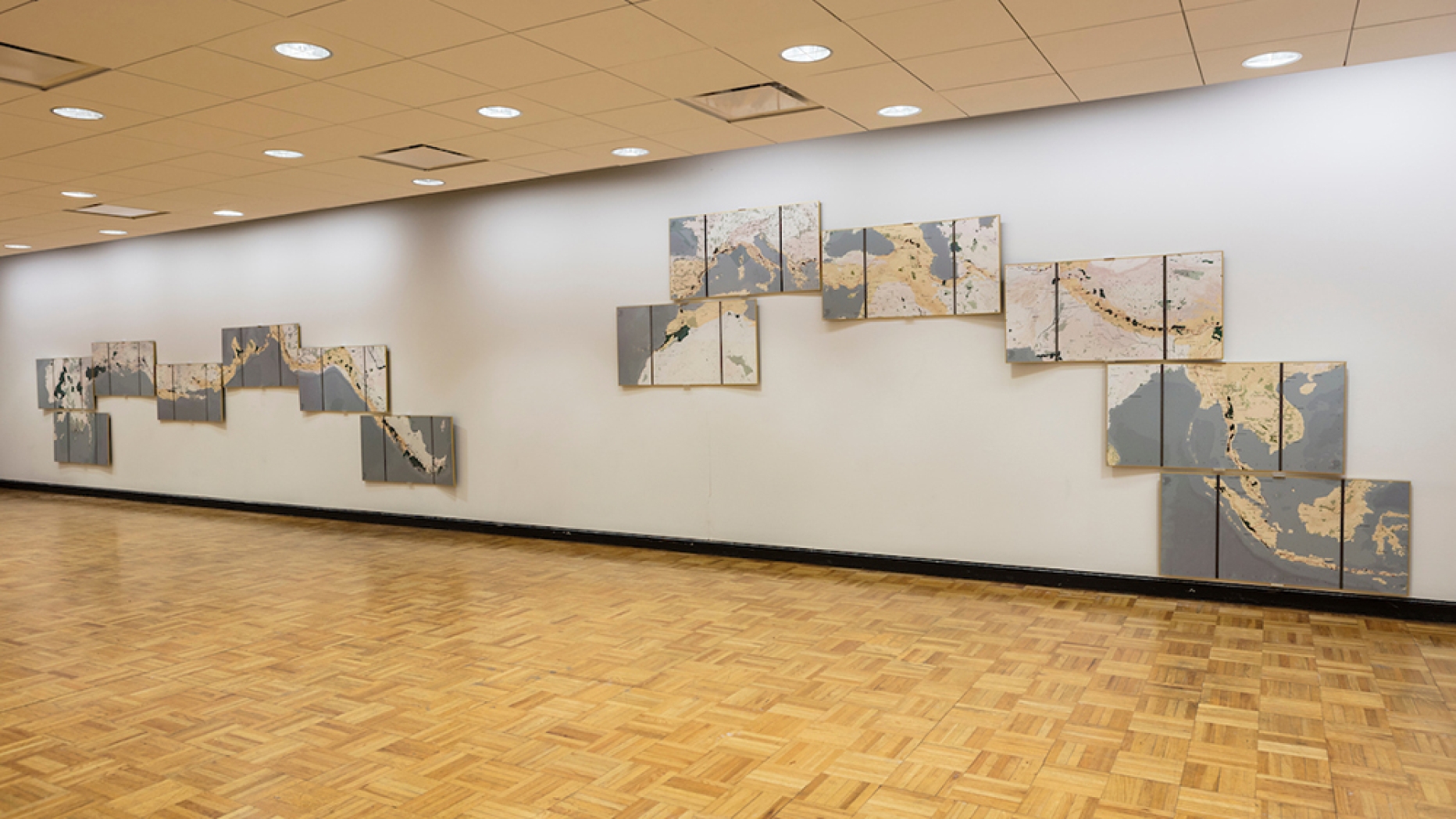
Our answer is that this new land should be allocated within and in-between the world’s biodiversity hotspots, i.e., areas of unique and endangered biodiversity. Following this logic, the World Park becomes two global corridors; one running north-south from Alaska to Patagonia, and the second, east-west from Indonesia to Morocco. These routes interconnect many of the world’s biodiversity hotspots.
The first step in the creation of the World Park is to design and construct walking and cycling trails, with shelters approximately every 20 miles, along the entire length of this territory. We call these trails the ‘Pat-aska’ and the ‘Indo-roc.’ The Pat-aska is 25,000 kilometers long, passes through 15 nations, and takes two years to walk. The ‘Indo-Roc’ is 35,000 kilometers, passes through 24 nations and takes three years to walk.
In addition to passing through biodiversity hotspots, two principles apply to the routing of the trails. First, wherever possible they link up existing trails. Second, the new trails stitch togetheras many existing National Parks, protected areas, and World Heritage sites as possible.
The trails are major tourist attractions, but they are more than this. The trails are catalysts for people to engage in landscape restoration projects along their routes. By expanding and connecting existing fragments of protected areas, these restoration projects enable biodiversity to migrate into new territory and thus adapt to climate change.
These restoration projects also provide jobs. Similar to the way in which the Peace Corp provides meaningful work and experience for American youth, the World Park’s construction provides meaningful work experiences for the world’s youth.
Just like National Parks, the World Park is funded through a combination of government and philanthropic sources. A business case for the Park could also be developed around global carbon markets. The Park’s development and programming is managed by a board which oversees a planning committee of community representatives and first nations leaders along with engineers, landscape architects, anthropologists, and environmental scientists. Involving a total of 39 countries, the creation of the World Park represents a feat of international cooperation and planetary consciousness. The Park also catalyzes large-scale ecological restoration, and entices individuals to embark on life-changing adventures.