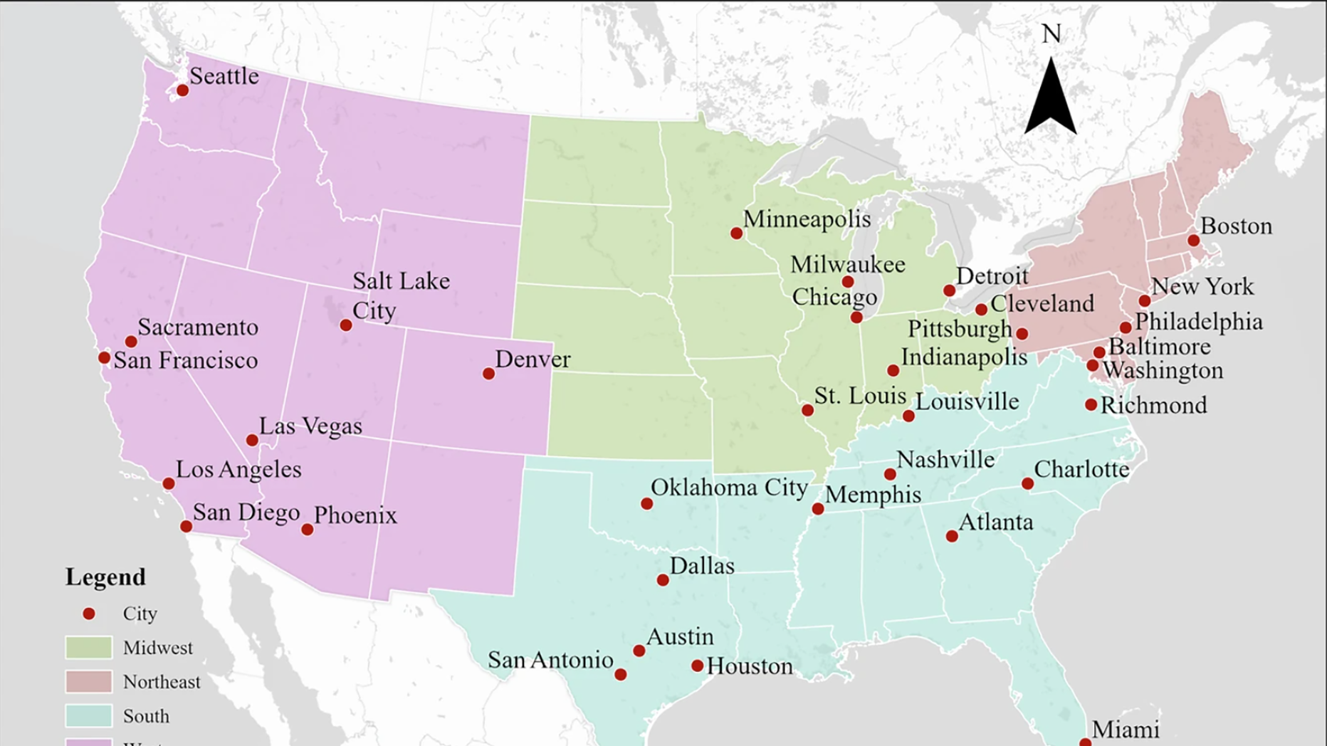
Published in Scientific Data, this study by Doctoral Student Shengao Yi (MUSA'23) and Assistant Professor of Urban Spatial Analytics Xiaojiang Li, along with collaborators, presents the first high-resolution urban albedo maps for 34 major U.S. cities using advanced deep learning models and multisource remote sensing data. By differentiating between impervious and pervious surfaces using NAIP imagery, roof albedo data, building footprints, land cover classifications, and Sentinel-2 imagery, the researchers achieved unprecedented sub-meter resolution in albedo mapping. Employing U-Net architecture for both surface classification and albedo prediction, their models demonstrated exceptional accuracy with R² values of 0.9028 for impervious surface albedo and 0.9538 for pervious surface albedo. Surface albedo is critical for understanding urban heat islands and thermal comfort, as it determines how much solar energy is absorbed or reflected by urban surfaces, directly influencing microclimate and energy consumption. The publicly available dataset provides essential insights for urban planning, climate adaptation strategies, and environmental monitoring at hyperlocal scales.

 Expand Image
