Urban Spatial Analytics

Map showing streets of Guangzhou
Luming Xu (MUSA'25), 30 Day Mapping Challenge 2024
Close
Luming Xu (MUSA'25), 30 Day Mapping Challenge 2024
Hao Zhu (MUSA'25), 30 Day Mapping Challenge 2024
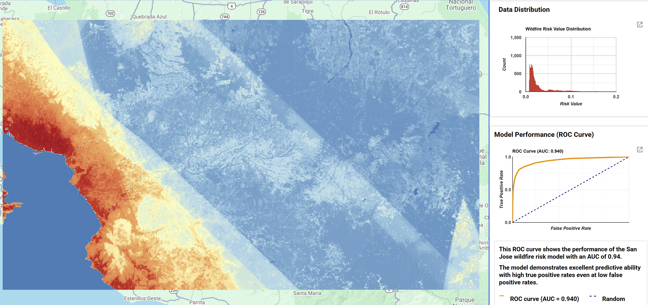
Emma Witanowski (MUSA'25), May 2025
Anna Duan (MUSA'25), 30 Day Mapping Challenge 2024
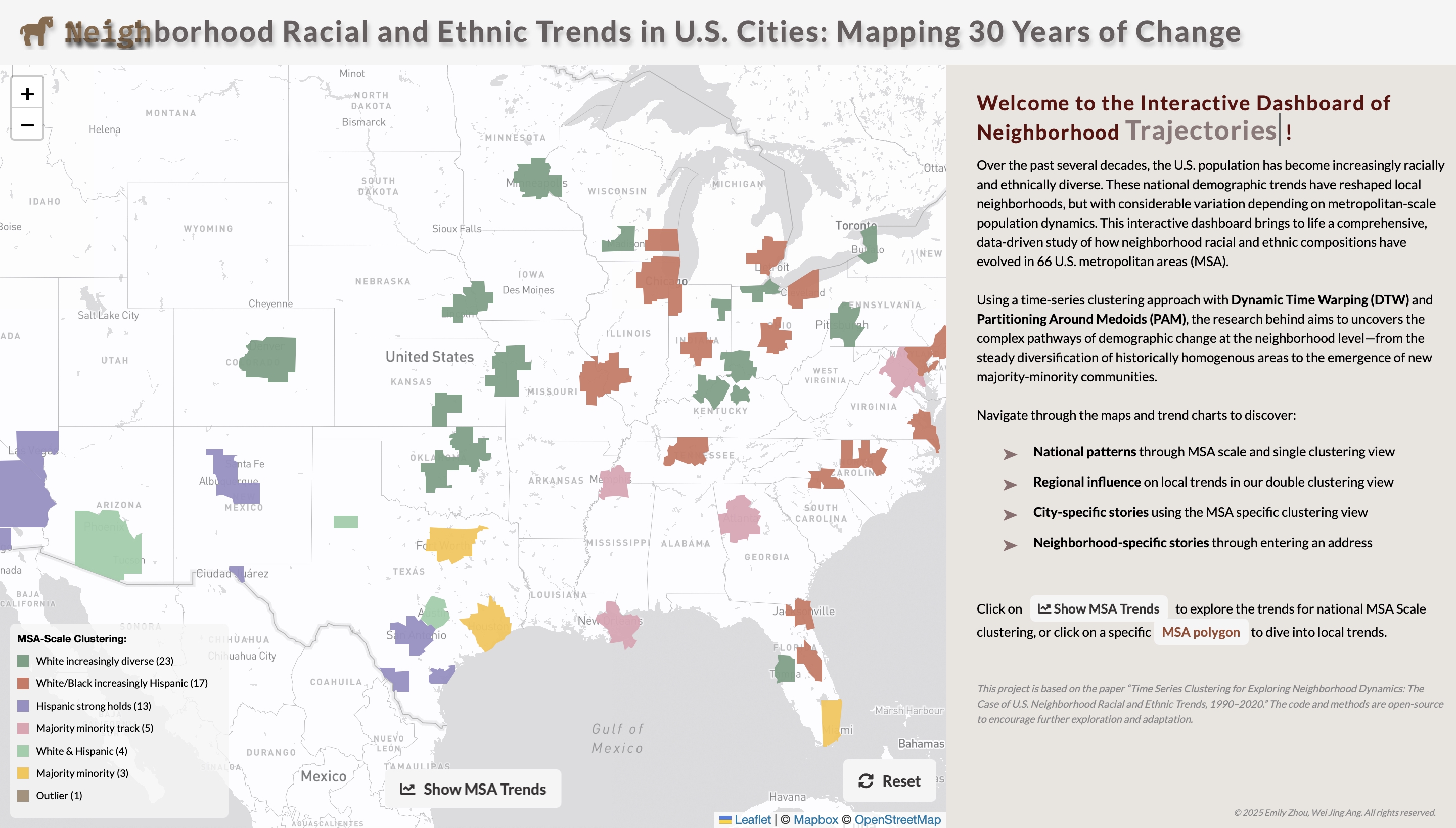
Wei Jing Ang (MUSA'25), 30 Day Mapping Challenge 2024
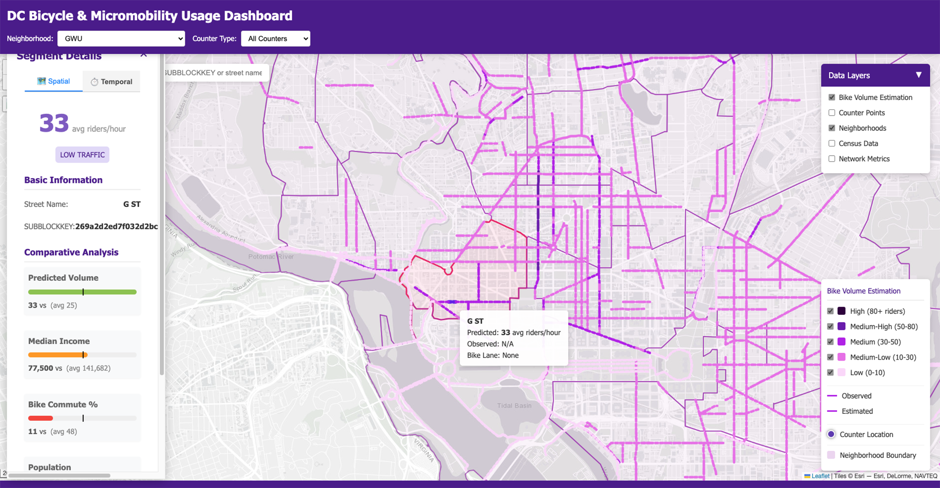
Senior MUSA Lecturer Mjumbe Poe, 30 Day Mapping Challenge 2024
Penn’s Master of Urban Spatial Analytics (MUSA) is a one-year graduate program that fuses spatial data science, GIS, and urban policy to solve real city challenges. As the original urban analytics degree in the U.S., MUSA goes beyond desktop GIS: you’ll master skills like R/Python, cloud geospatial computing, visualization, and communication — even if you’ve never coded before. Our program makes high-demand technical skills accessible to students from all backgrounds, without sacrificing rigor.

Why MUSA?

Cities today face unprecedented challenges from climate resilience and housing affordability to public health and transportation transformation. At the same time, a flood of new data resources, including real-time sensors, high-resolution imagery, and mobility tracking, offers unprecedented opportunities for solutions.

Yet a critical gap remains:

  • Urban planners often lack the technical skills to harness these data sources effectively.
  • Technical specialists often lack the urban and environmental context to apply them meaningfully.

MUSA was designed to bridge this gap — and to make the technical skills accessible to everyone. You don’t need a technical background to succeed here. We teach GIS, programming, data science, and visualization from the ground up, ensuring all students graduate ready to use these tools with confidence and impact.

More Than a GIS Program

If you’re searching for a GIS master’s program or GIS graduate degree, you’ve found something more powerful.
MUSA delivers all the core skills of GIS — mapping, spatial analysis, visualization — but takes them to the next level with:

  • Cloud-based geospatial computing
  • Programming in R and Python
  • Data mining and statistical modeling
  • Machine learning for spatial problems
  • Urban and environmental policy integration

This is the GIS of the future — designed for impact in government, nonprofits, private industry, and civic tech.

MUSA’s Four Integrated Pillars

This is where MUSA’s unique approach comes in. Our curriculum is built around four integrated pillars:

  1. Technical Skills – GIS, advanced spatial analysis, R and Python programming, geospatial cloud computing, and data visualization.
  2. Urban Content – Housing, transportation, climate resilience, public health, social justice, real estate, and other pressing city issues.
  3. Communication Abilities – Transforming complex data into compelling, actionable narratives for technical and non-technical audiences.
  4. Community Building – Learning in a tight-knit, interdisciplinary cohort and connecting to Penn’s broader civic tech network.

Every element of MUSA integrates technical depth with urban or environmental context. This integration makes MUSA graduates uniquely valuable.

Program Highlights

  • The original urban analytics degree — Pioneering the fusion of GIS, spatial analysis, and data science with urban planning and policy.
  • One-year, immersive format — Condensed, rigorous, and career-focused.
  • Interdisciplinary by design — Technical training plus urban content courses spanning planning, design, sustainability, and social impact.
  • Hands-on, real-world learning — Capstone or practicum projects for real clients.
  • Proven alumni impact — Graduates working at the intersection of technology, policy, and urban change.
  • Accessible to all backgrounds — We teach high-demand skills from the ground up, so you can thrive without prior technical experience.

Learning Outcomes

By the time you graduate, you will be able to:

  • Critically evaluate spatial data and recognize bias.
  • Apply a complete spatial data science workflow — from problem definition to modeling to visualization.
  • Select and implement the right analytical method for each problem.
  • Communicate findings clearly to both technical and non-technical audiences.
  • Collaborate across disciplines to address complex urban challenges.
Curriculum at a Glance
  • Core courses in spatial analysis, statistics, programming, data mining, and visualization.
  • Urban content electives connecting methods to policy and design issues.
  • Capstone or practicum solving real-world problems with measurable impact.
  • Summer bootcamp in R and statistics to ensure all students start on strong footing.
A group of students on a nighttime tour

FAQ

Q1: Is MUSA a GIS program?
MUSA includes all the foundational GIS skills — mapping, spatial analysis, visualization — but extends far beyond to include advanced programming, machine learning, and urban policy integration. We think of it as GIS of the future.

Q2: How long does it take to complete MUSA?
The MUSA program is designed as a full-time, immersive, in-person one-year (9 month) graduate degree.

Q3: Do I need prior GIS or coding experience to apply?
No. We welcome students from all academic and professional backgrounds — urban planning, social sciences, environmental studies, design, public policy, and more. We make these high-demand skills accessible, teaching you GIS, coding, and data analysis from the ground up. Our summer bootcamp ensures you start the program confident, regardless of prior experience.

Q4: What kinds of careers do MUSA graduates pursue?
Graduates work in civic technology, government agencies, nonprofits, real estate, transportation, environmental planning, public health, and more — in roles such as data scientist, urban planner, GIS analyst, and geospatial consultant.

Q5: How is MUSA different from other data science or planning degrees?
Unlike general data science programs, MUSA is built entirely around urban and environmental applications. And unlike planning programs that may offer a single GIS elective, MUSA integrates technical depth with urban context in every course.

Q6: Is MUSA a STEM degree?
Yes!

Your Next Step

Be part of the original urban analytics program — and lead the future of GIS.
Join a network of data-driven problem solvers making measurable change in cities.

The latest in Urban Spatial Analytics

Follow Urban Spatial Analytics on Instagram

See more student and faculty work, and explore the latest courses.

Connect

A group of just-graduated students