June 15, 2022
Stuart Weitzman School of Design
102 Meyerson Hall
210 South 34th Street
Philadelphia, PA 19104
Get the latest Weitzman news in your Inbox
Tags
Media Contact
Michael Grant
mrgrant@design.upenn.edu
215.898.2539
The Environmental Modeling Lab (EMLab), a newly launched research unit within The Ian L. McHarg Center for Urbanism and Ecology at the Weitzman School, is part of a team that has received a $750,000 grant through the U.S. Army Corps of Engineers’ Engineering With Nature program.
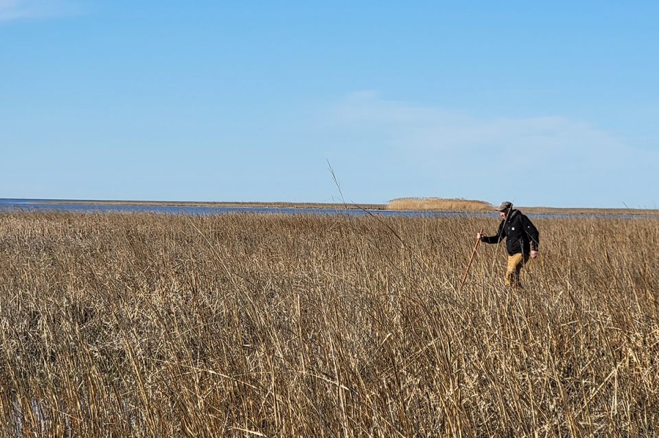
As part of the project, researchers from the Department of Landscape Architecture will help collect data and monitor landscape changes related to the Army Corps’ dredging and sediment placement work at sites in the Maurice River in New Jersey. EMLab shares the grant with principal investigator Brian Harris, a research civil engineer with the Corps’s Engineer Research and Development Center, who focuses on coastal environments. The Lab’s contributions will be spearheaded by Senior Lecturer Keith VanDerSys and Sean Burkholder, the Andrew Gordon Assistant Professor, who have co-taught a seminar about using drones and remote sensing technology to generate environmental data.
The U.S. Army Corps regularly dredges channels for navigation, and increasingly seeks to use the sediment it collects in beneficial ways, including building wetlands. EMLab will help monitor the evolution of those placements in the Maurice River. VanDerSys says the group is still sorting out the specifics of its contributions, but it will likely involve several fieldtrips a year for the next three or four years to monitor elevation and vegetation densities near the sediment placement, along with additional monitoring after storm events. The group will use light detection and ranging (LIDAR), photogrammetry, and multispectral analysis technologies, along with other tools, to complete the work.
“This is an expanding arena for our discipline,” VanDerSys says. “We’re actually in the room now as designers who are helping collect and shape those datasets.”
The collaboration grew out of relationships that Burkholder built with the Army Corps through participation in the Dredge Research Collaborative and with Healthy Port Futures in the Great Lakes region. In February, EMLab held a three-day symposium called Instruments of Change, focusing on tools and strategies for understanding how landscapes change. Burkholder and VanDerSys have advocated for landscape architects to generate their own data about the environments they intervene in, in addition to working with existing datasets built by others. So the Maurice River work is a mutually beneficial thing for both the Corps and EMLab, he says, allowing designers to understand landscapes in new ways—including how sediment placements and vegetation respond to tidal forces and storm events.


 Expand Image


